Indoor Mapping and Routing
As the interest and demand for web based mapping solutions grow - it is advantageous to understand the current state of indoor mapping initiatives. Group 4 delved into the many ESRI products and extensions to gain knowledge on the extent of indoor mapping tools, as well as outdoor routing.
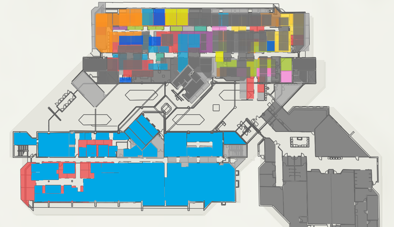
Group 4 utilized 2D floor plans from Utah's District of Transportation (UDOT) as well as Newmarket's Public Parks to learn what is possible in regards to navigation, routing, visualizing in 2D and 3D and finding attribute information.
Ideal
Using a web-based solution, staff of UDOT should be able to access current room-level information and navigate between rooms and outdoor spaces around their building.
Reality
Staff currently do not have access to one single digital platform that provides room-level information for their business readily available at their fingertips. Navigation between rooms and buildings is currently paper-based and outdated.
Consequences
Issues can arise during emergency situations such as accessing the total number of staff in each room, finding the closest emergency exit, or navigating safe meeting areas outside.
Proposal
Create a dashboard application that allows internal staff to view room-level information and act as a navigational tool between rooms and/or buildings.


